National Park • Seoul
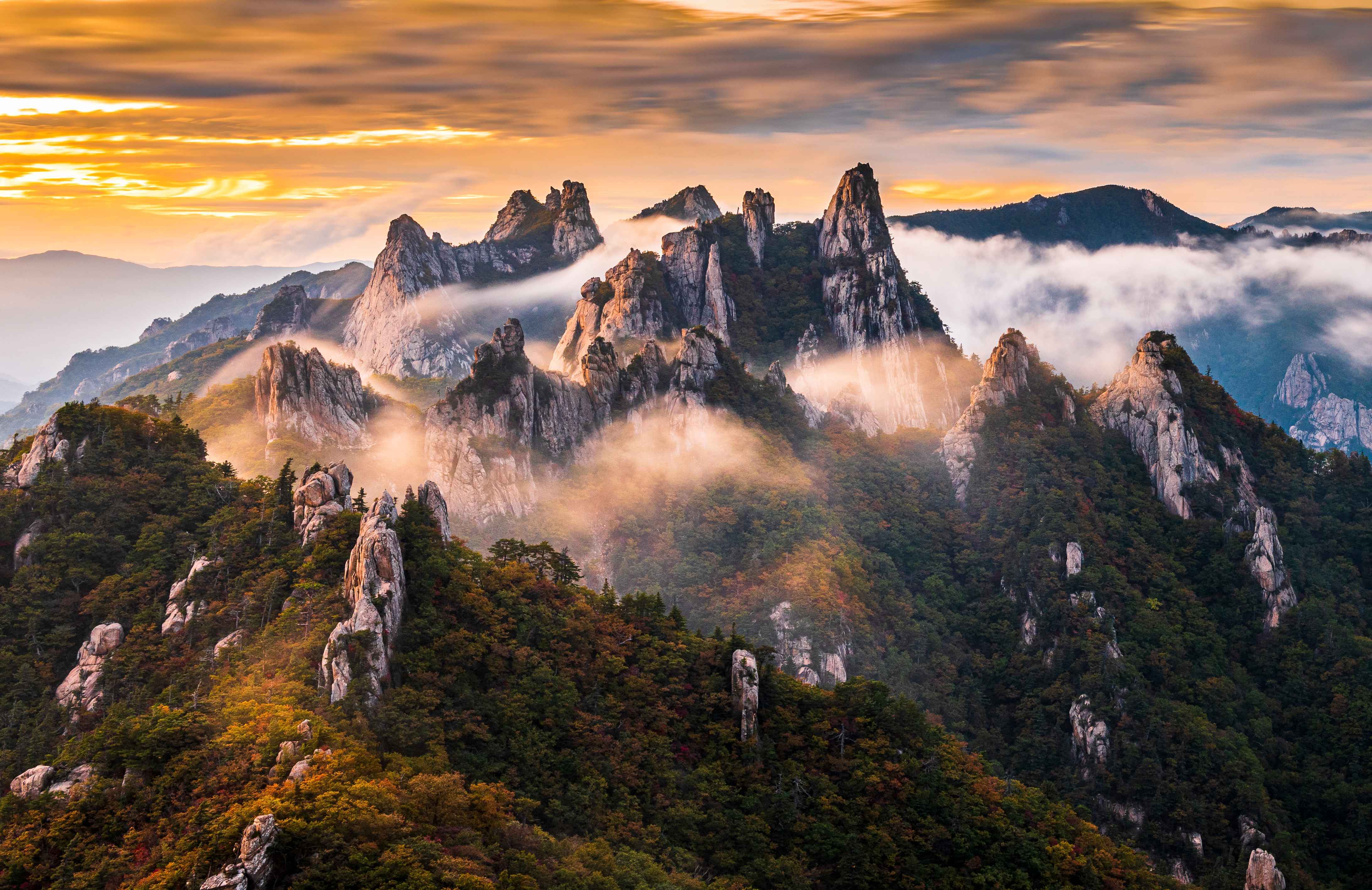
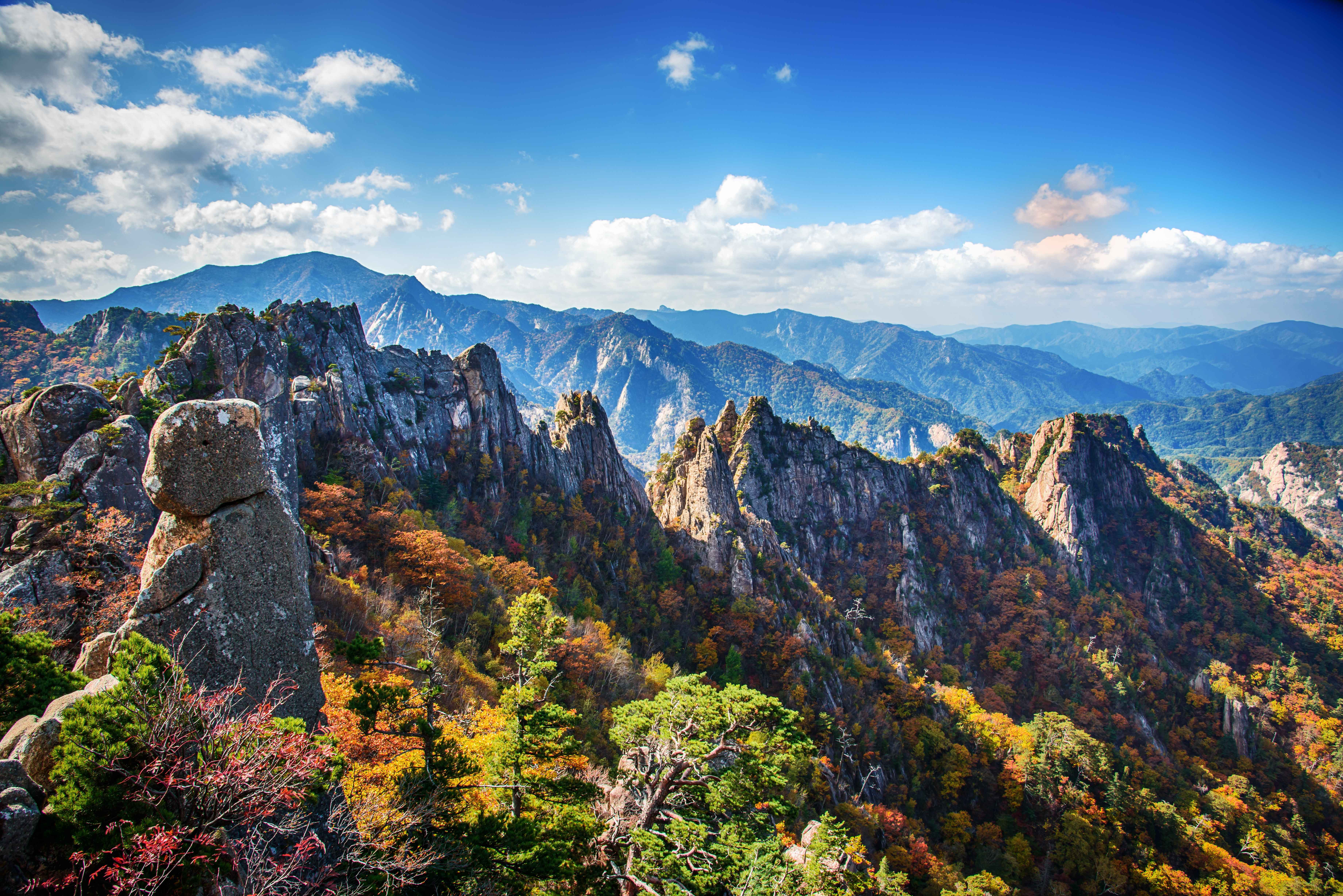
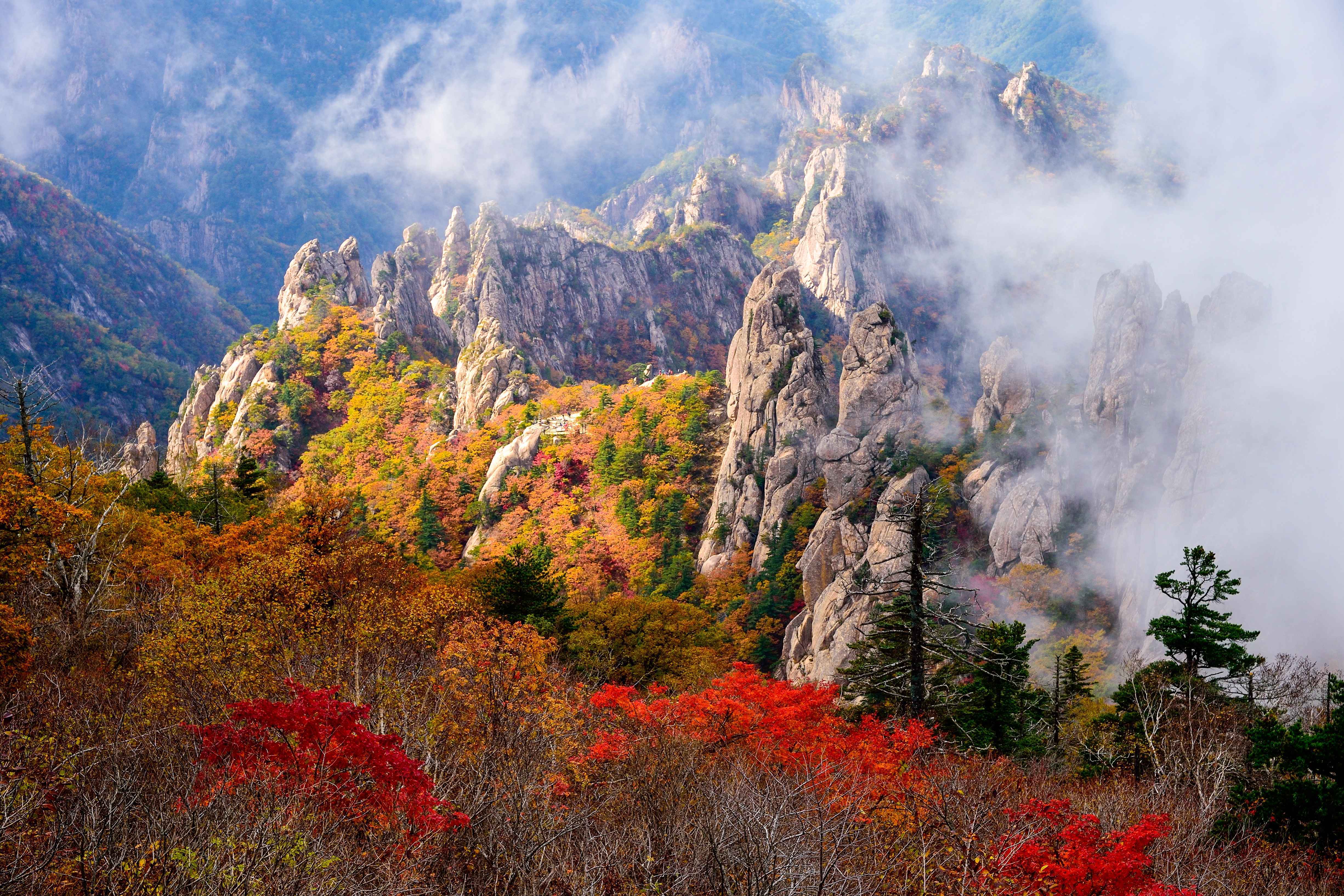
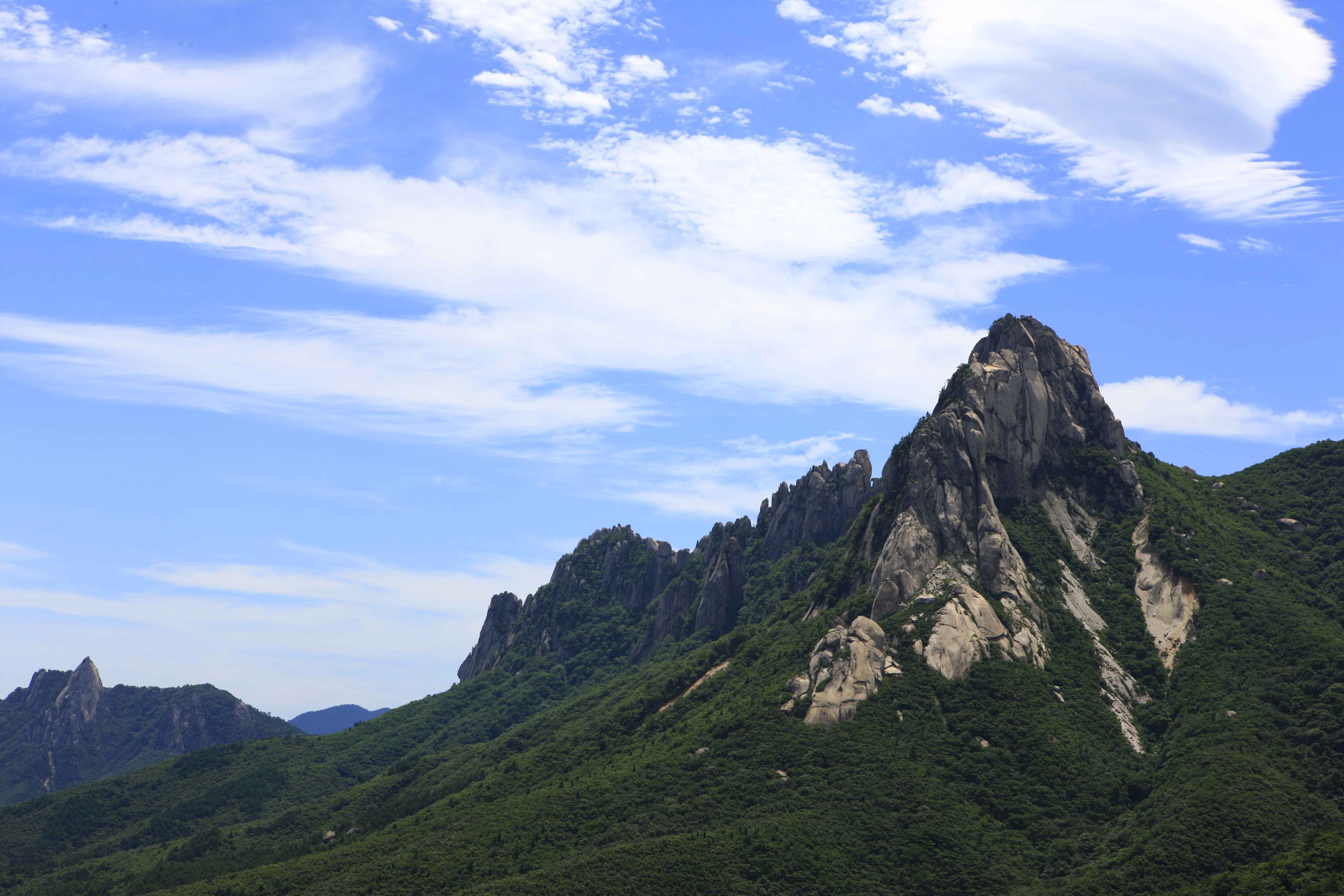
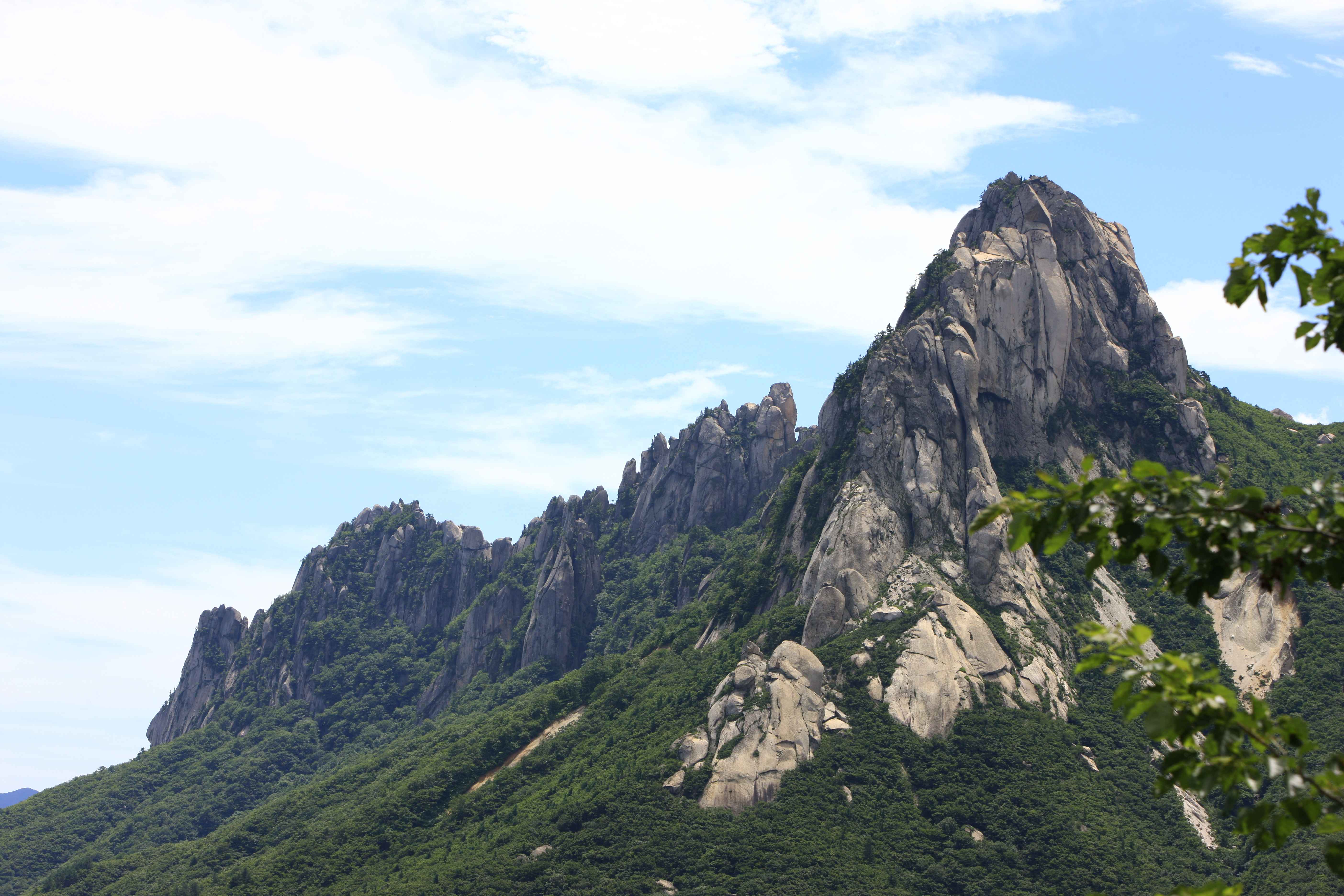
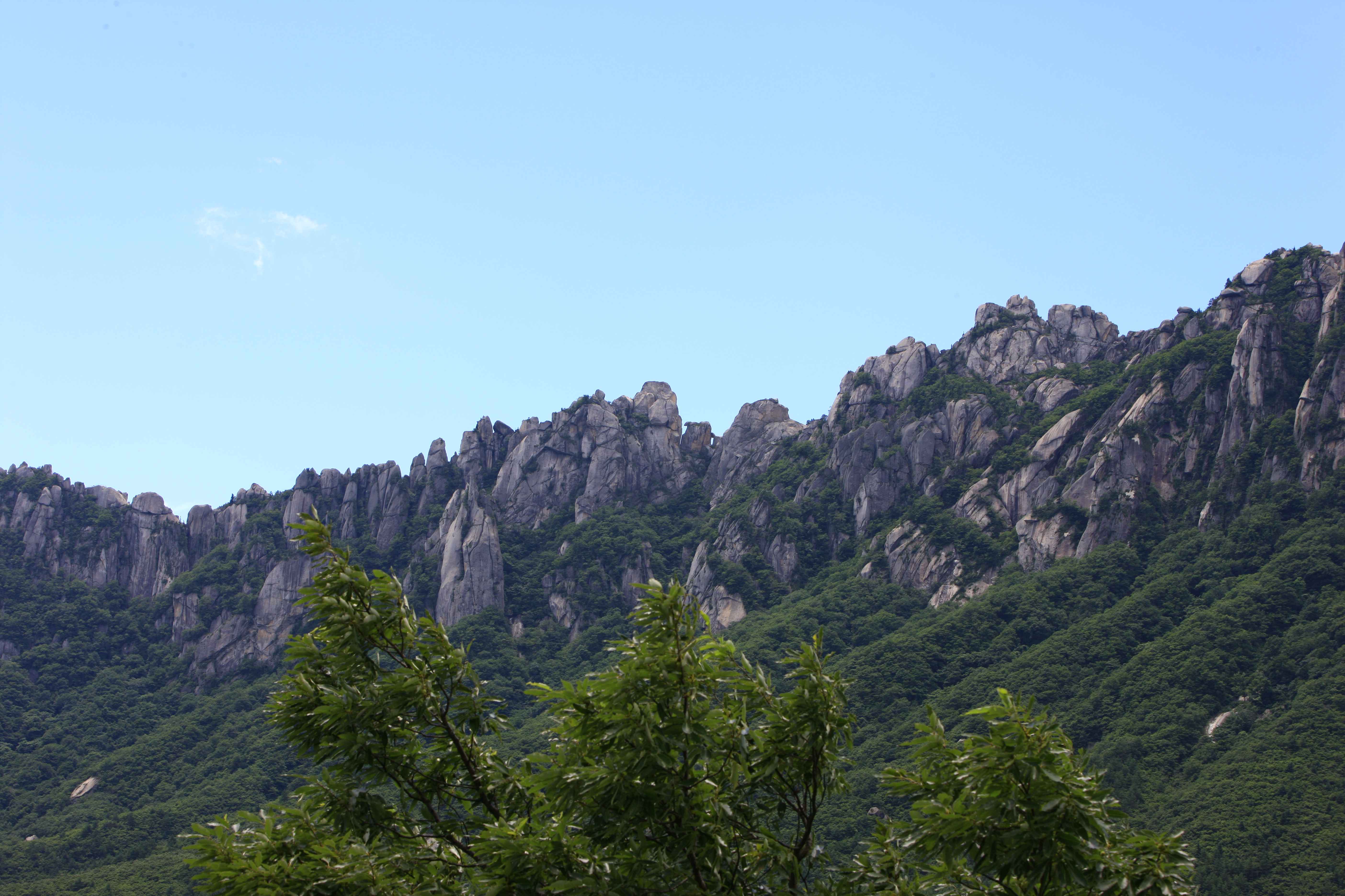
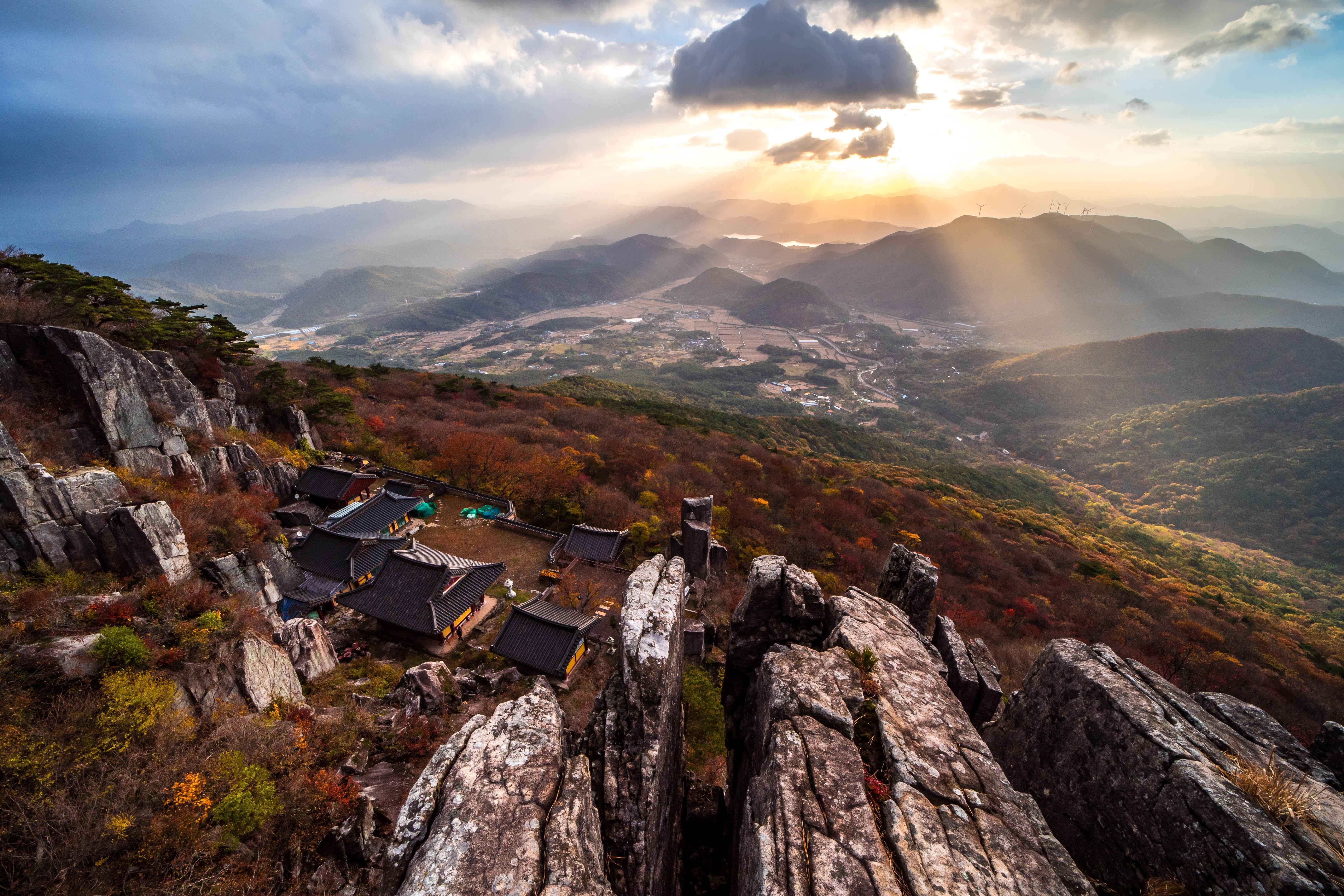
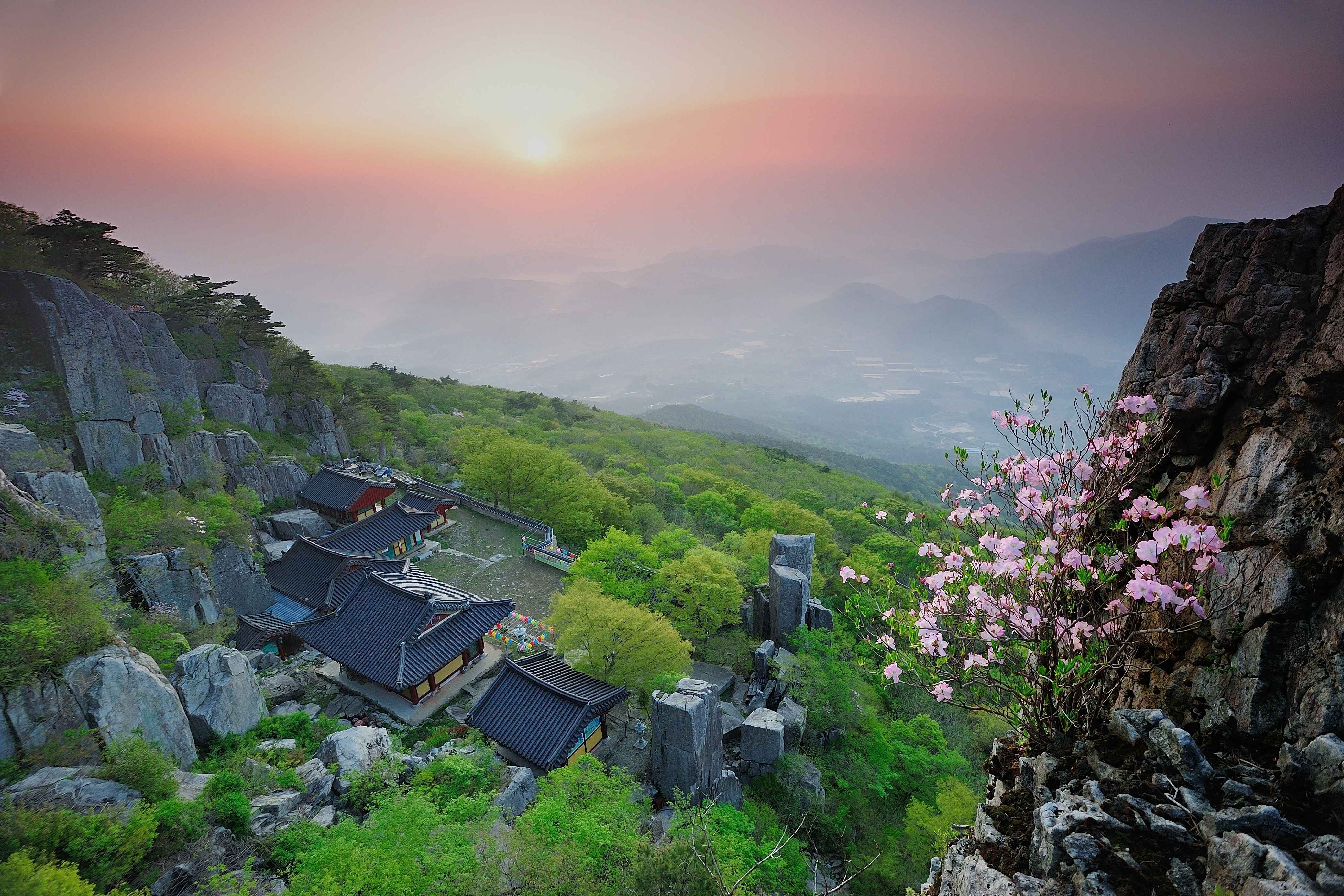
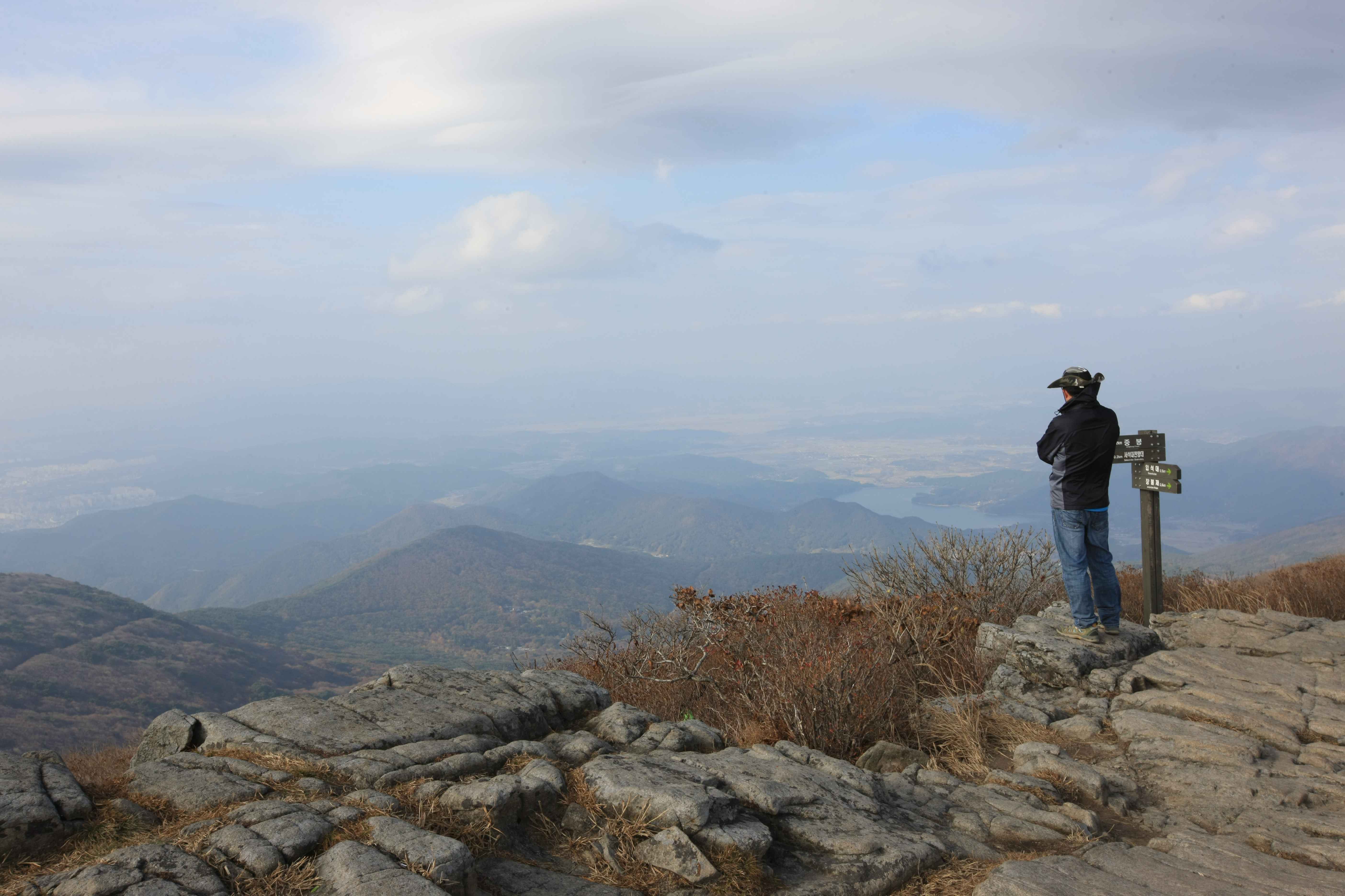
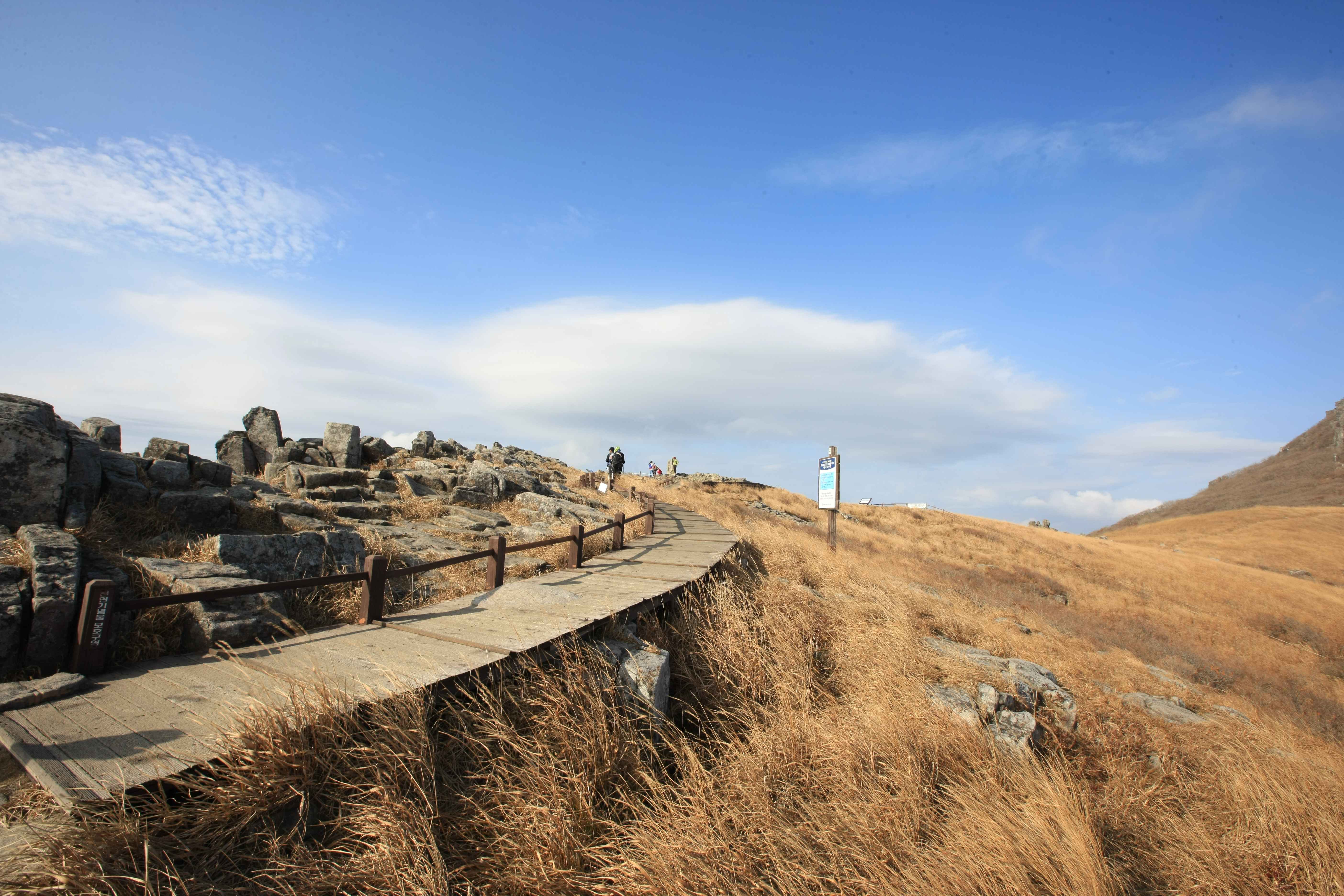
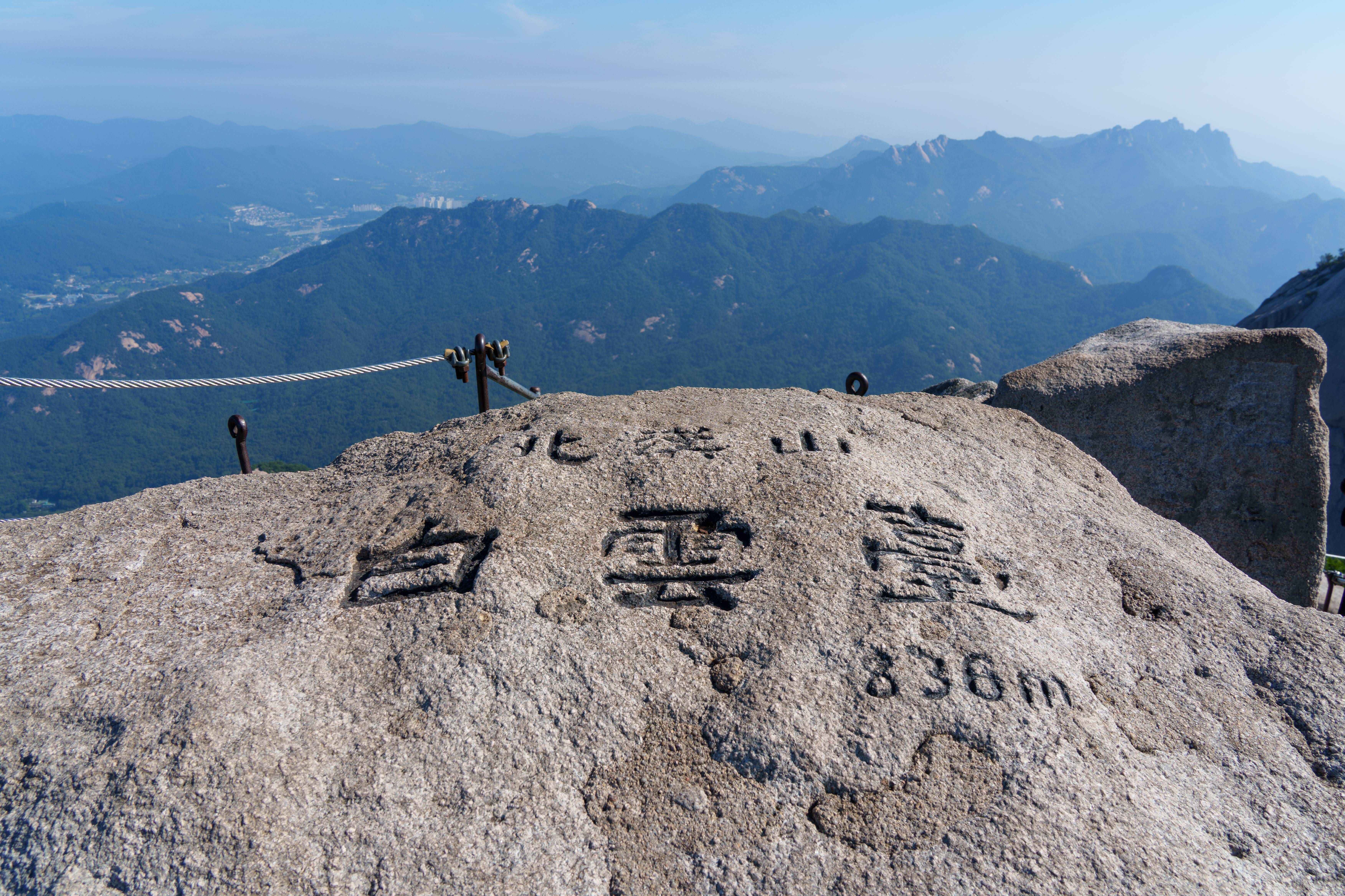
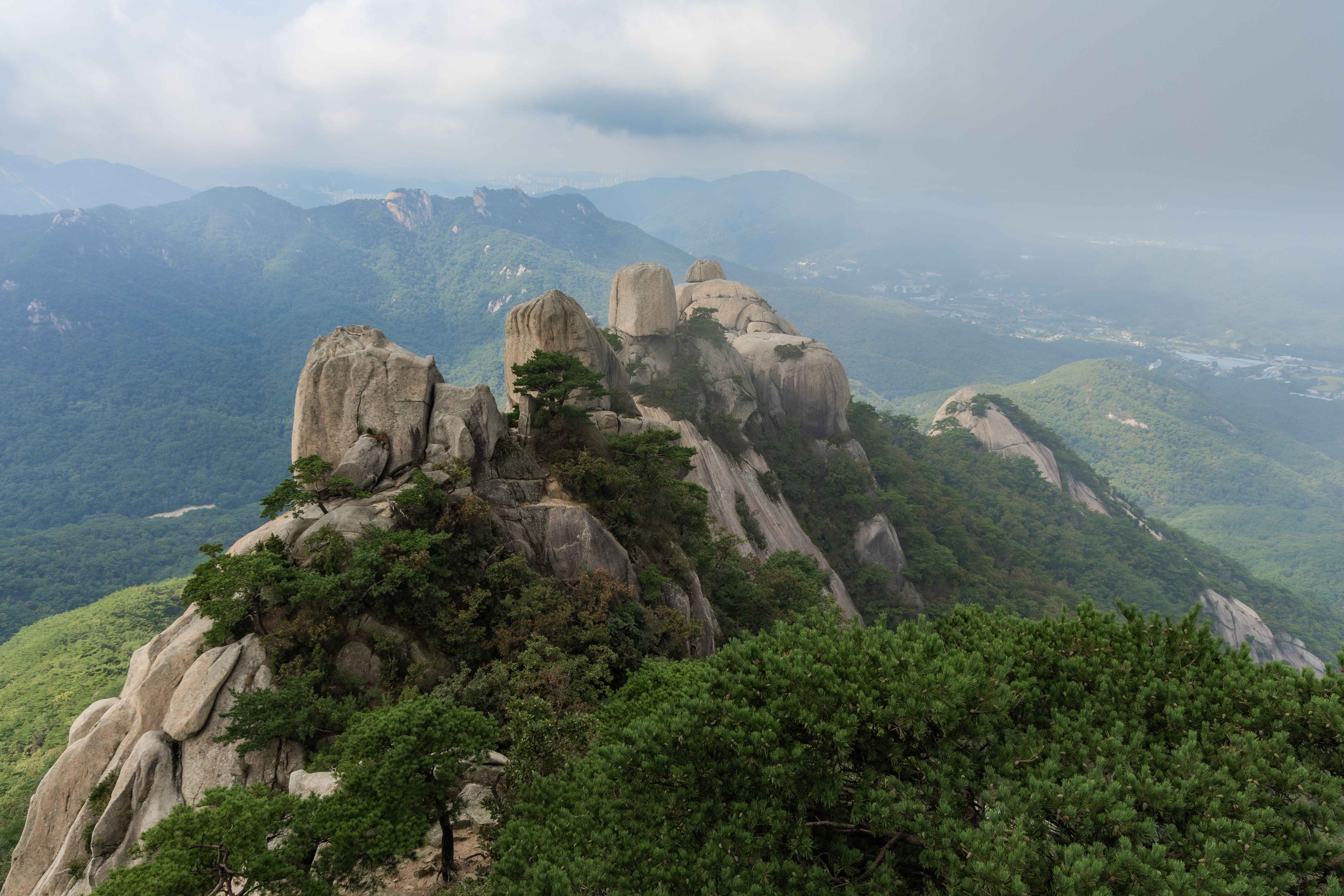
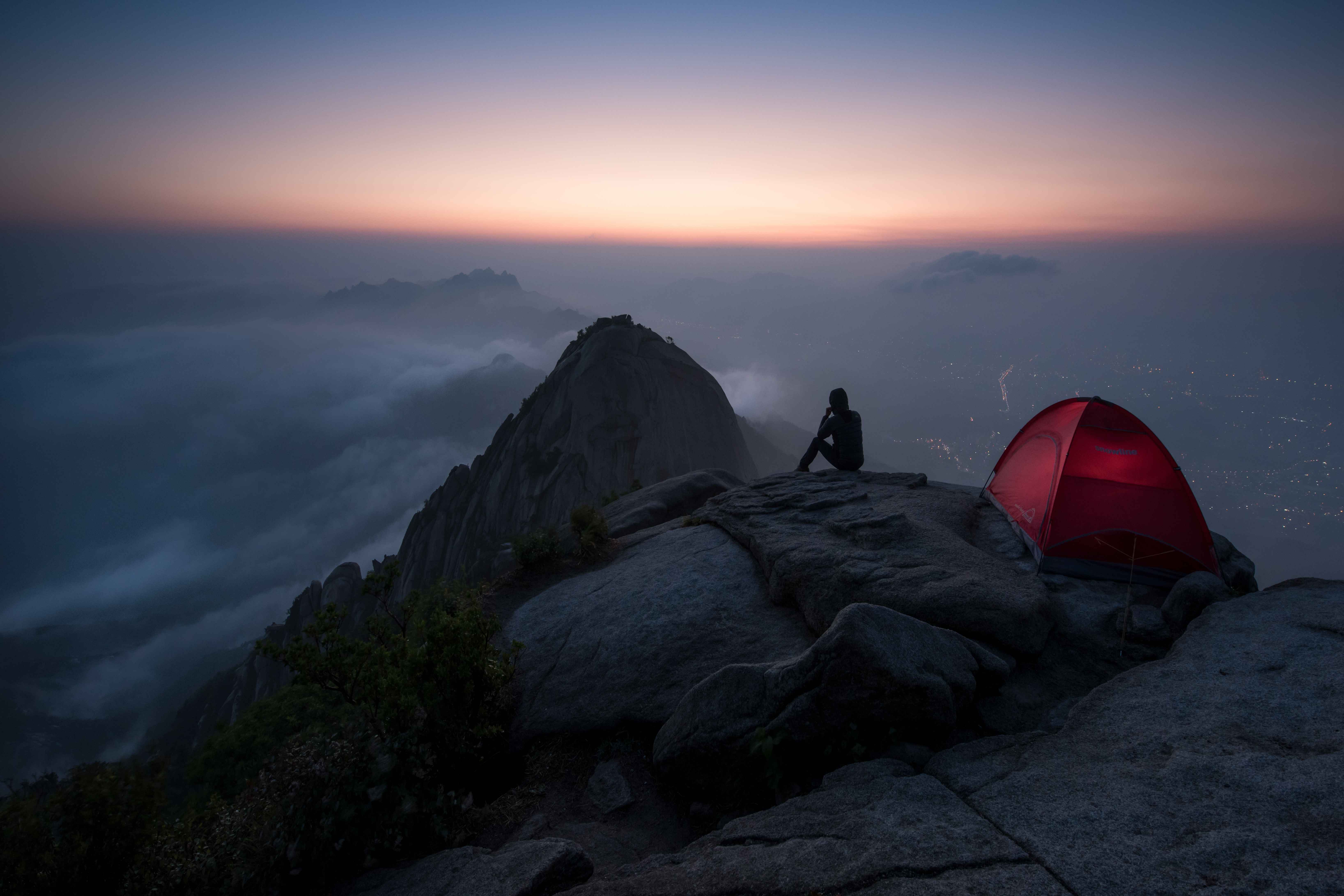
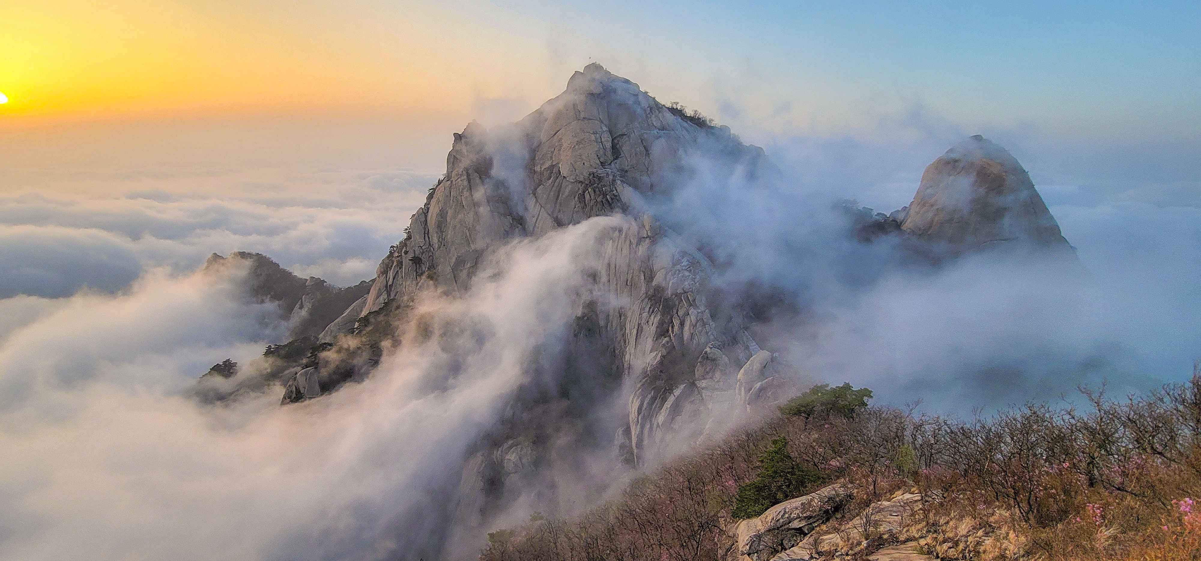
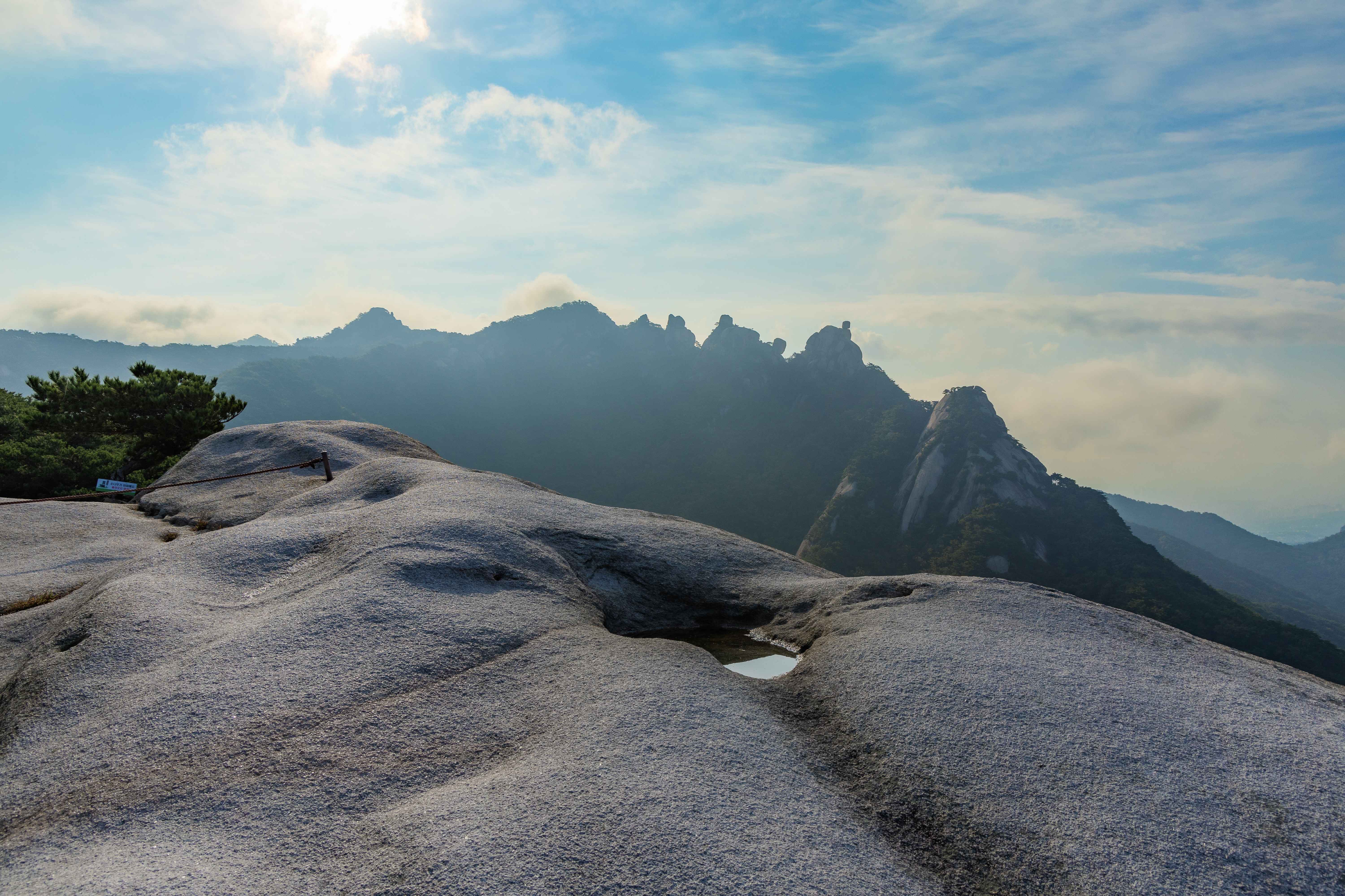
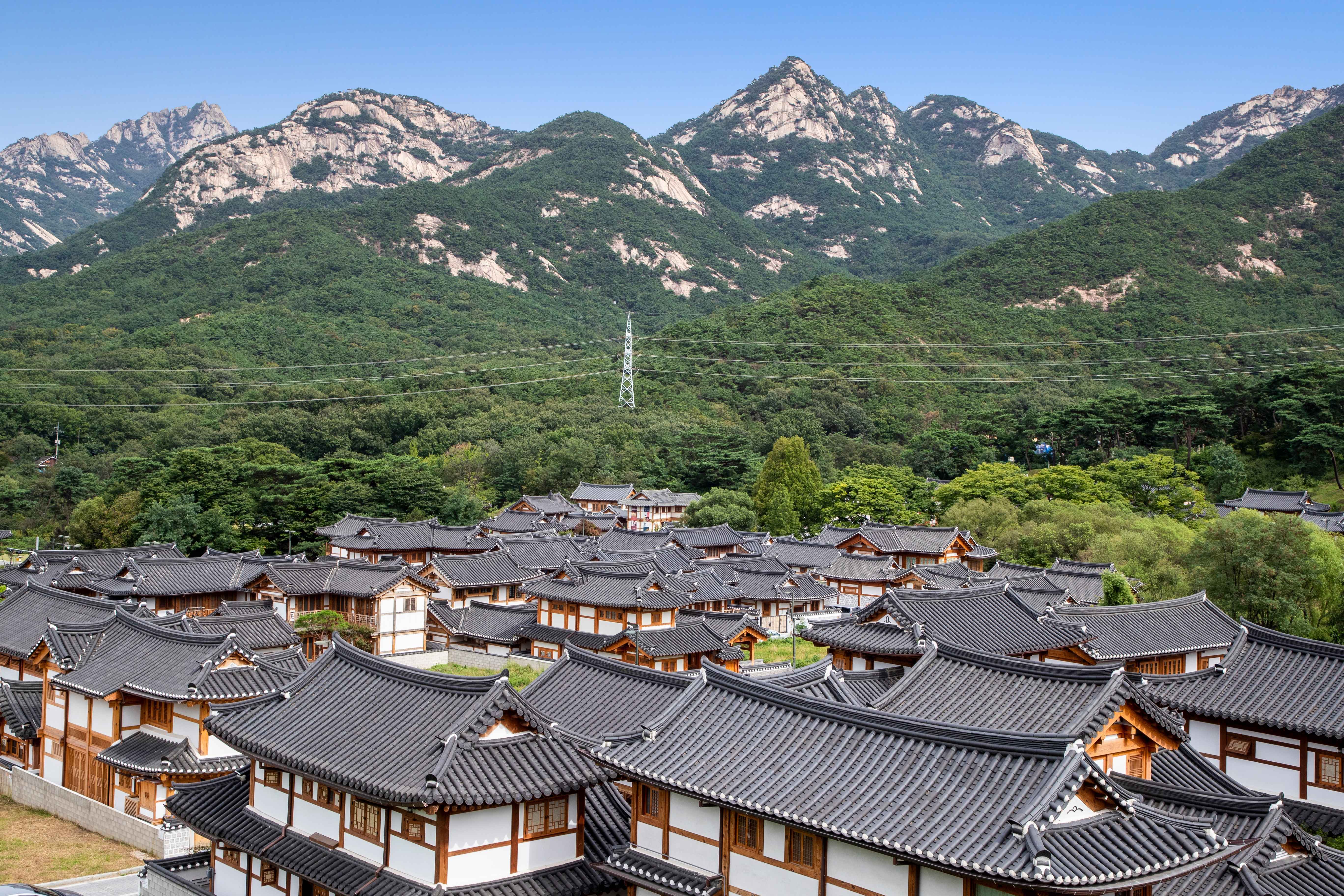
Bukhansan
북한산 北漢山
Rising dramatically from Seoul's northern skyline, Bukhansan offers world-class granite climbing and temple trails just 30 minutes from downtown.
836m
Peak
3+
Routes
★★~★★★★
Difficulty Range
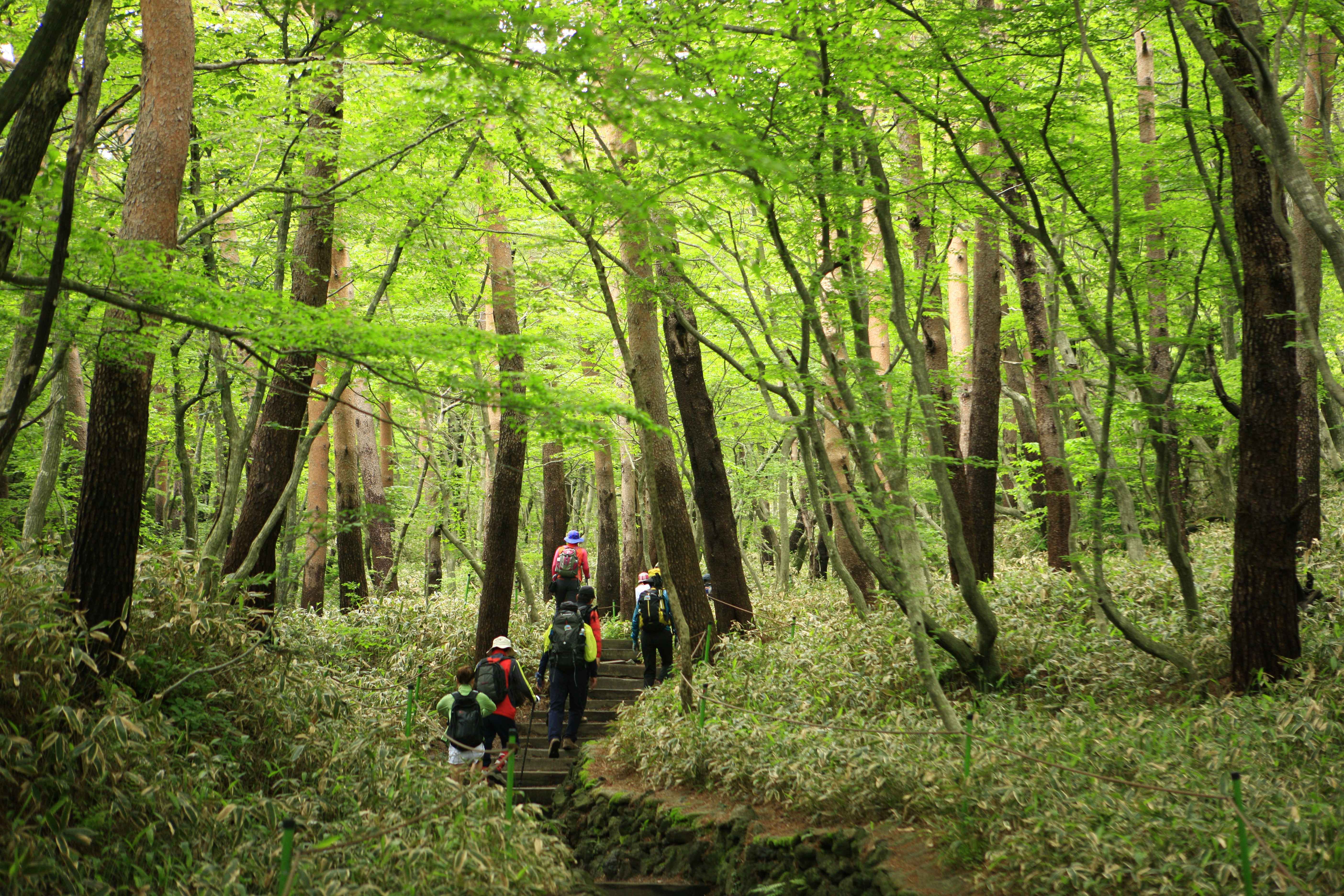
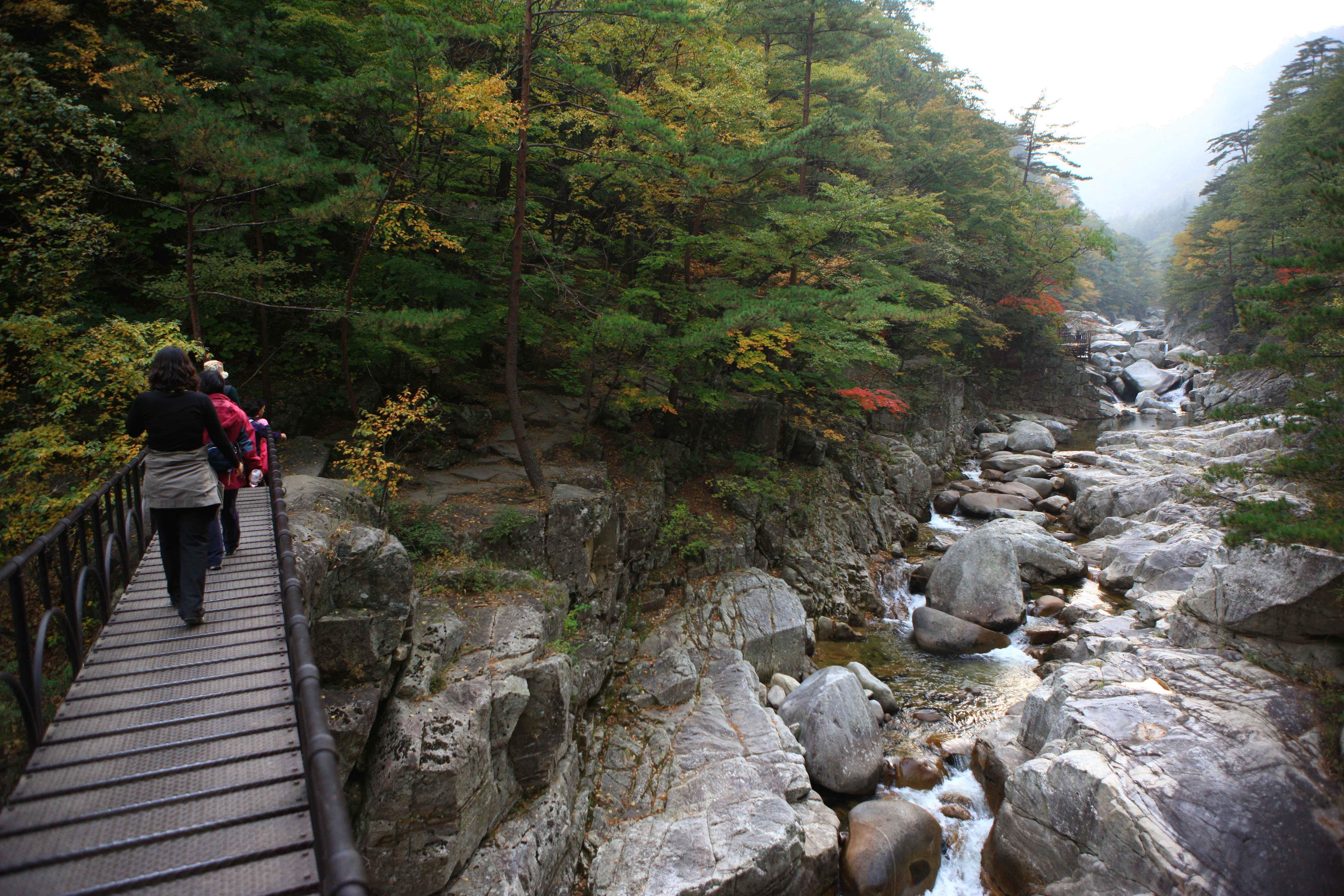
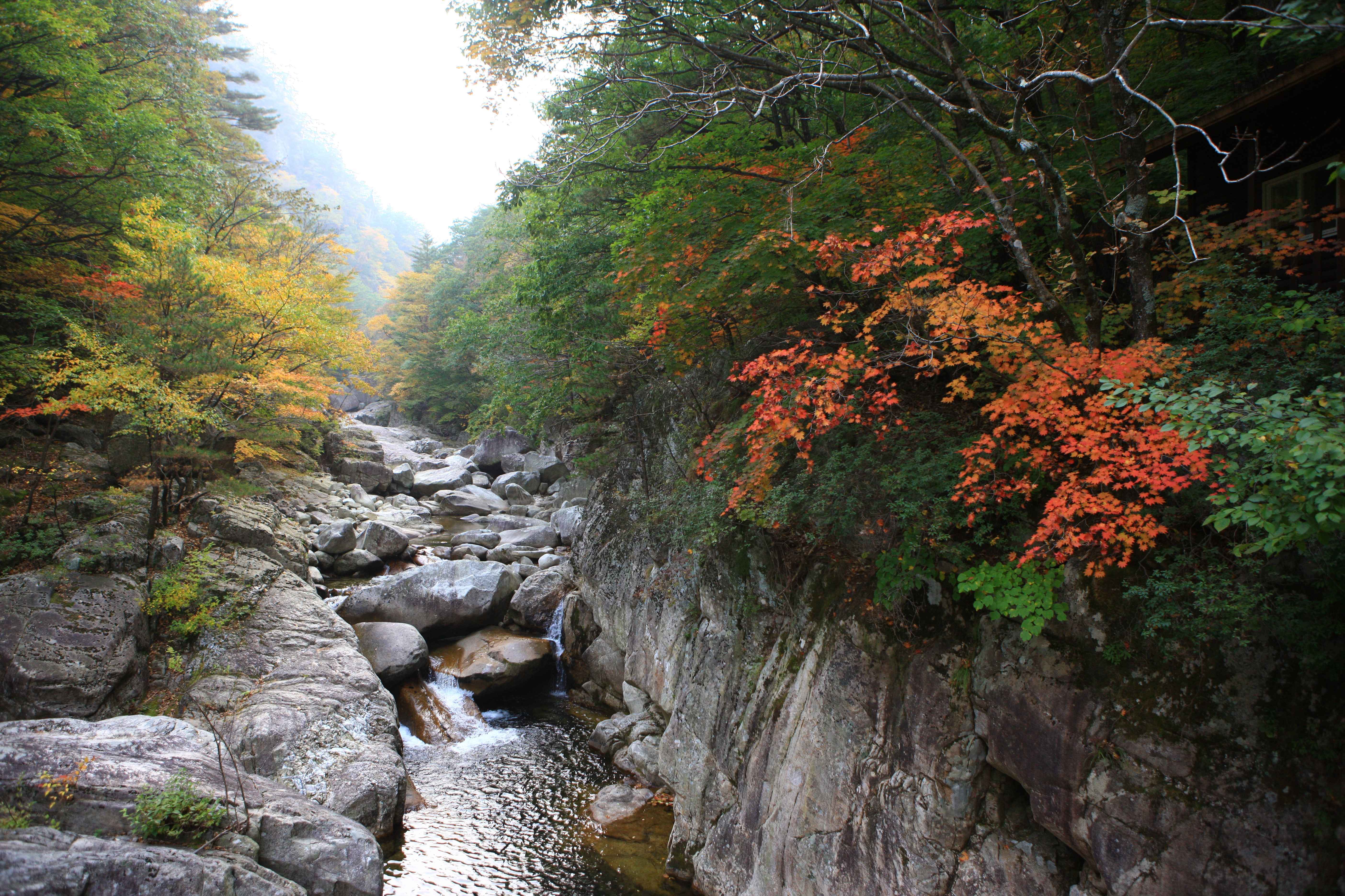
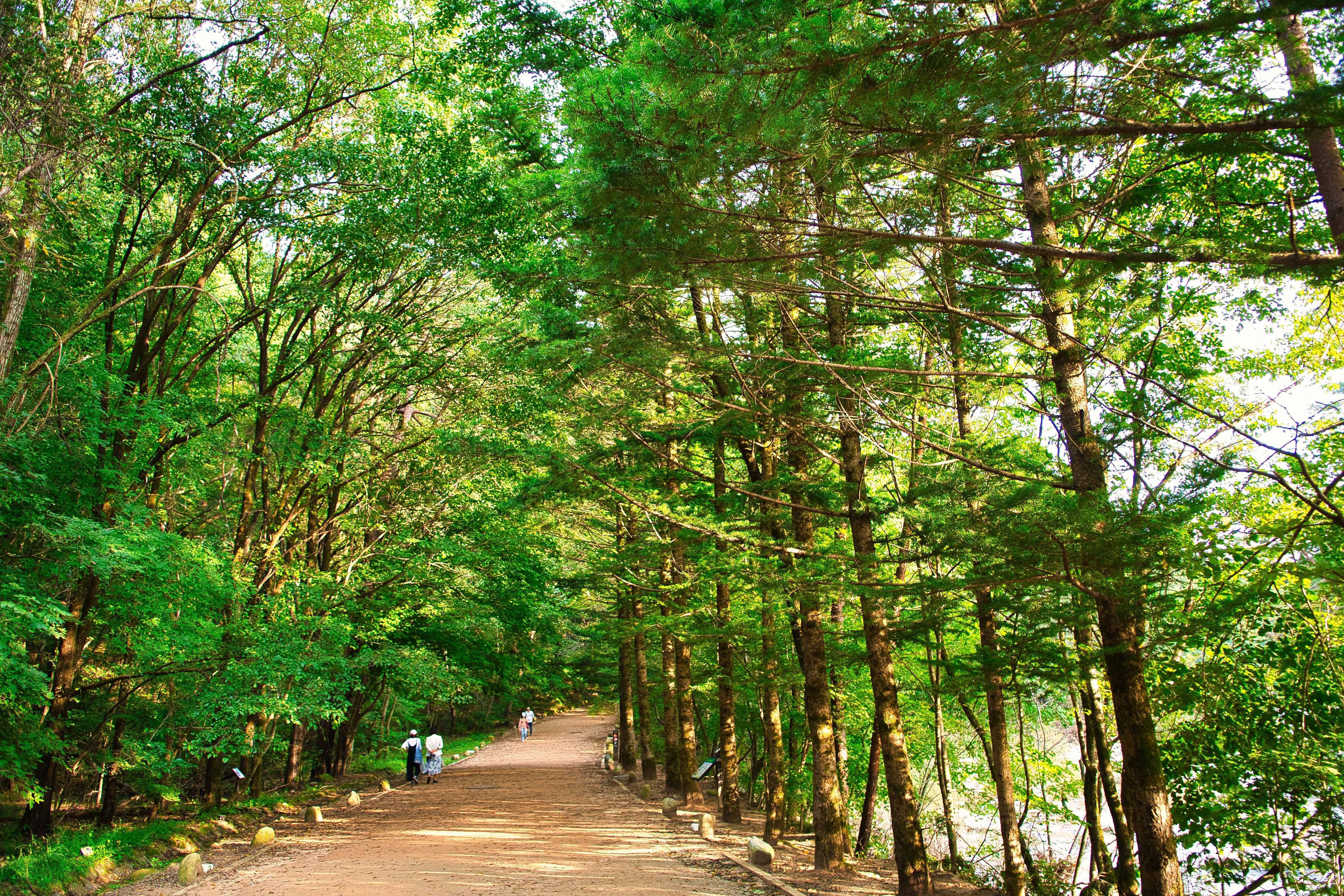
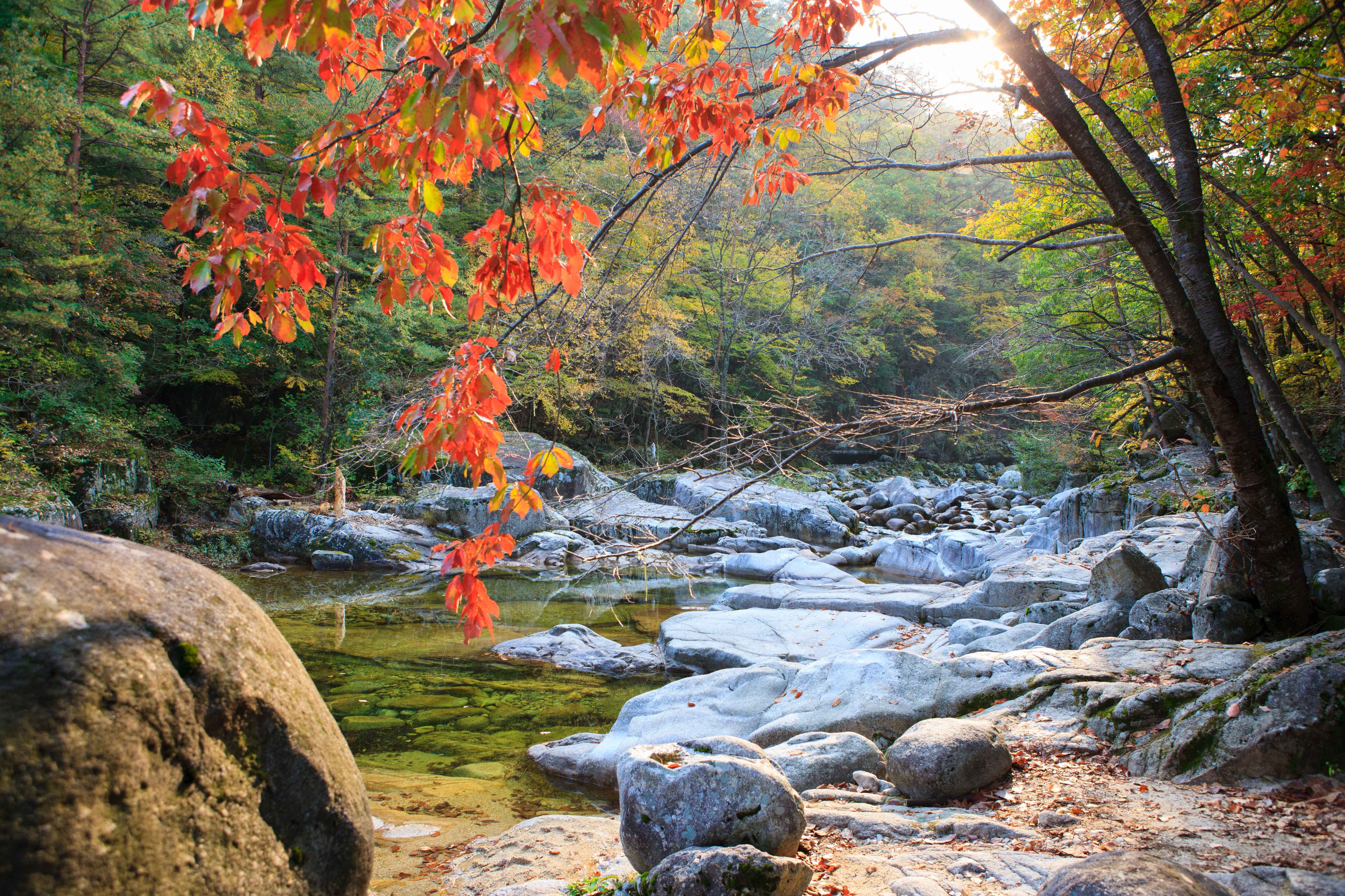
Gallery
6 Images
Routes — GPS Data
Elevation Profile — Baegundae Summit